Welcome note

When my husband and I set out to find and take pictures of wheelchair accessible waterfalls in every U.S. state, we were excited about the challenge. We gave ourselves no time limit to accomplish our feat; however, we had one mutually agreed upon rule that dictated how long we would stay in any given area. That rule was to never shiver again. Needless to say, adhering to this rule presented a new challenge. The new challenge was to find a waterfall that was actually flowing. Visiting mid-west and eastern states during months that prevented us from shivering are the same months that are hot enough to dry up streams; hence, little or no water flow for waterfalls. The natural scenery and picturesque landscapes warrant a second visit in the early spring right after the snow melts.

Bob and Jan

Bob and Jan
Christmas Eve

Total Pageviews

Showing posts with label walk. Show all posts

Sunday, December 27, 2015

Willow Falls - Willow River State Park, Wisconsin


DESCRIPTION:  Willow Falls is a 45 foot cascading waterfall located in Willow River State Park northeast of Hudson, Wisconsin.

ACCESSIBILITY:  The falls are reachable by several different trails. The trails are accessible; however, they aren't easily accessible. The  shortest trail is on a 1/4 mile paved walking path; however, it is a steep trail.  The trail we took to the waterfalls was grassy in spots, deep gravel in other spots, then other spots had gouged out muddy areas. My husband and step-son took turns pushing my wheelchair over this terrain.  I could have never successfully mastered the feat alone.  When leaving the falls, we took the third trail.  This trail was about two miles, but, a bit smoother.  It was a dirt path, but well-worn because this path was used more frequently by the many people who visited the fall each day. Even though the trails left little-to-be-desired, the nature was worth the travel.

A sturdy bridge traversed the 100-foot wide waterfall. A parking fee is payable upon entering the park.

TYPE:  Cascading - follows along a series of rock steps

Sunday, September 13, 2015

RIFLE FALLS STATE PARK - RIFLE COLORADO

Description - Rifle Falls State Park is in Colorado NE of Rifle, Colorado. Thev48-acre park has a triple waterfall. The falls is a lush area of trees and greenery kept moist by the spray of the cascading triple waterfall (http://cpw.state.co.us/placestogo/parks/RifleFalls).  Mysterious limestone caves beneath the falls entice spelunkers and other curious visitors to explore their dark depths.Spray from the falls can be felt while picnicking at the tables near the falls.  


Accessibility - "In 1998, the park underwent a face-lift: new pavement, picnic tables, interpretive signs and increased handicapped access." The trek to the falls is only a short jaunt from the parking lot. 


Address and directions -  Follow the signs from town. The park is 13 miles north of town. A small fee is required to enter the park. Camping by tent or RV is available. Park Office5775 Highway 325 Rifle, CO, 81650  Park Hours - 7AM -10PM. Anglers And Campers Have 24 Hour Access Office HoursVaries - Can Visit Rifle Gap's Office For Needs 7am - 7pm Daily. Phone - (970) 625-1607 EmailRifle.Gap.Park@State.Co.Us 

Fall Type - a triple 70-foot waterfall flowing over a travertine (a mineral formed by a compilation of hots or spring waters) dam on East Rifle Creek.

Nature 


Sunday, July 12, 2015

BIG SPRING PARK - NEOSHO, MISSOURI

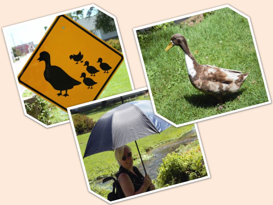
We happened upon this waterfall while searching for a church in the town of Neoshu, Missouri. The name of Neoshu is an Indian word meaning "clear or abundant" water. The downtown buildings are early 1800. It is a scene taken right out of civil war times.


ACCESSIBILITY:  Big Springs Park has well-maintained grassy areas and stone or concrete pathways. Neosho is known as "the flower box" city.  The Park's grounds have flowers planted in many beds and a wading pool, benches for relaxing while enjoying the flowers or watching the ducks.


Friday, September 19, 2014

SMITH FALLS - Smith Falls S.P. Valentine, Nebraska

Smith Falls State Park was established in 1992. Smith Falls is located on the Niobrara River. Of the 180 falls on the 20-mile stretch of the Niobrara River Valley, Smith Falls is the tallest waterfall in Nebraska. The spring-fed fall drops 70 feet then flows into the Niobrara River.

Smith Falls State Park is 4 miles down a gravel road off of Highway 12. You'll wind through corn fields, see wildlife like, turkeys, deer, squirrels, rabbits, and buffalo. You'll cross a couple of cattle guards, and wonder to yourself, "Where in God's country are we going to again?"

DIRECTIONS:  Driving directions for Smith Falls SP from Valentine you go 15 miles east on Highway 12 to the Smith Falls State Park sign, then turn right. Travel 4 miles south on a gravel road to park.
A state park permit is required. Stop in the office to obtain one, then drive through the campground to the walkway that leads over walk bridges and across a historic truss bridge that spans the river. Once across the bridge, a short walk to a boardwalk leads to the falls.

The park is open April 1 - November 30.

ACCESSIBILITY: A walkway leads over walk bridges and across a historic truss bridge that spans the river. Once across the bridge, a short walk to a boardwalk leads to the falls.

 TYPE OF FALL:  Fan


Friday, September 12, 2014

BRIGGS WOODS COUNTY PARK - Webster City, Iowa


Briggs Woods Park is located at 2490 Briggs Woods Trail in Hamilton County, Iowa, two and one-half miles south of Webster City off of Highway 17. The park is 550 acres and is easily accessible by wheelchair, strollers, or bikes.  However, the path to the falls is a grassy steep path. I made it to the falls only by the strength of my husband. If you have a motorized wheelchair, you'll be good to go by yourself, otherwise, waterfall access is difficult. Highway 20 offers clear access to the east and west, while Interstate 35 is located about 12 miles east of highway 17.


FALL TYPE:  Briggs Woods Falls has three tiers cascading over rock formations.


Friday, August 1, 2014

SILVER FALLS STATE PARK : OREGON

Silver Falls State Park  is situated within the foothills of Oregon’s Cascade Mountains located 25 miles east of Salem.


"As the largest state park within Oregon, Silver Falls offers diverse opportunities for recreation with plenty of room for all visitors. For the equestrians, dog owners, mountain bikers and outdoor enthusiasts, more than 25 miles of multi-use back-country trails spread over the 9,000 acres offer a great escape."

The South Falls Day Use Area has spacious lawns, BBQ stands, picnic shelters, tables, playground, horse shoe pits, doggie off leash area, and charming creek. A viewing area of the famous 177-foot South Falls is a short stroll on a paved walkway.

 South Falls viewpoint (above and below)

The Kalapuya and Molalla, whose ancestors came to the Willamette Valley about 14,000 years ago, were the native people in the Silver Falls area when whites arrived as early as 1812. 

The 10 waterfall trail is a little more than 8-miles; however, only two are accessible by wheels (wheelchair, strollers, or bikes). In addition to the South viewing area, the upper North Falls path is narrow, but doable and is well worth the .2 mile stroll. Small trickles of water seep from the dirt walls of the path which allows for a peaceful meander to the fall.

 Cheyanne, our service dog, leading the way.
 Upper North Falls


Wednesday, June 11, 2014

McARTHUR-BURNEY FALLS STATE PARK - Burney, California

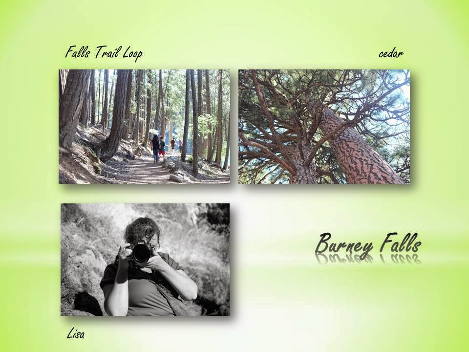
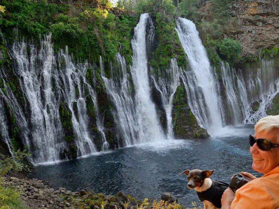
Over a million years ago, volcanic activity created Burney Falls and its landscape. 100 million gallons of water flow through Burney Falls everyday.

The 129-foot Burney Falls was named after Samuel Burney. McArthurs settled in the area in the late 1800s. Then descendants of the McArthur's saved the waterfalls and area from development and donated it to California state in 1920.

Address: McArthur-Burney Falls Memorial State Park, 24898 State Highway89, Burney, CA 96013 * (530) 335-2777

The upper falls overlook is directly off of the parking area. A short paved path leads to a stone wall that overlooks the massive waterfall.  There are two options to get to the bottom of the waterfall.  Option one is to take a paved curvy path that consists of steps and smooth walkways.  Option two is a 1.2 round trip smooth dirt hiking path that starts at Lake Britton.  It follows the lake and stream that leads from the falls. A wheelchair, stroller, or challenged walker can easily take this path to the lower falls.


Thursday, June 5, 2014

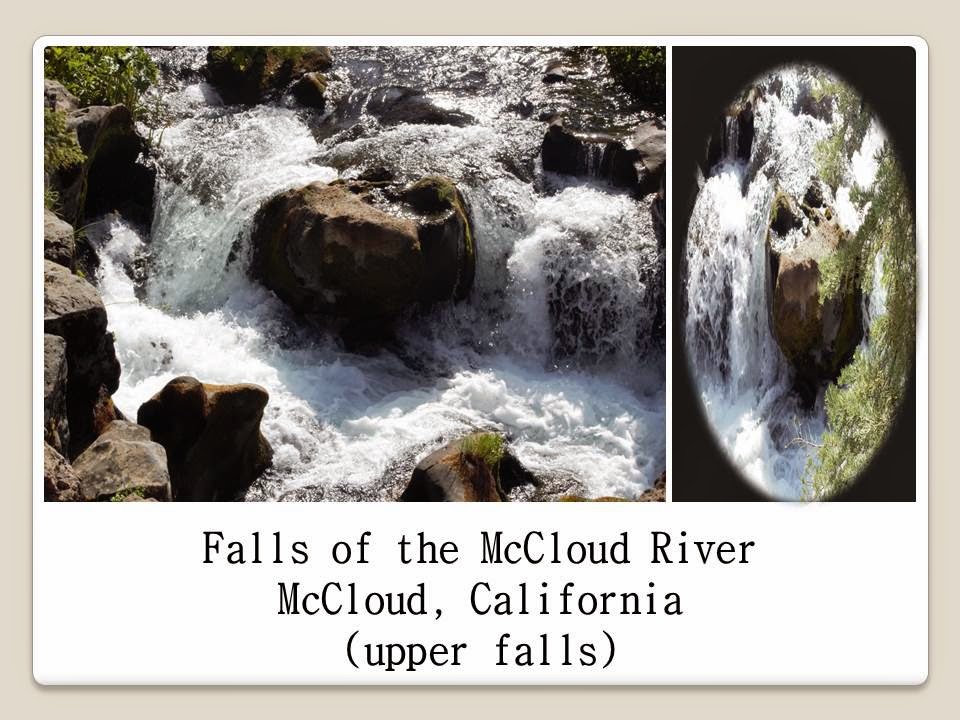
MCCLOUD RIVER FALLS - McCloud, California

Indian tribes came to McCloud River Falls to fish for Rainbow Trout, hunt Elk, eat acorns, pine nuts, wild onions, wild plums, mushrooms, elderberries, make baskets from Native plant materials, and use plants for medicine, tools, clothes, and temporary houses

ACCESSIBILITY: McCloud River Falls consists of three impressive waterfalls: Upper, Middle, and Lower Falls. The Upper and Lower Falls are easily accessible by a paved walking path directly off of the parking area. The Lower Falls are within an earshot of the parking area. The Middle Falls are hard to find and are found along a rough trail. The overlook for the Upper Falls is only a few steps from the parking lot - just past the bathrooms and picnic area.


DIRECTIONS: Use Highway 89 for 15 miles east of the I-5/89 junction and 5 miles east of McCloud and turn south on Road 40N44. (Look for a Fowlers Camp/McCloud Falls sign.) Go right at .6 mile (a left here takes you to overlooks of Middle Falls and Upper Falls) Continue another .7 mile past the campground and park at the picnic area at the Lower Falls. Follow your ears toward Lower Falls and the beginning of the trail.

Roads are not plowed during winter. For road and waterfall accessibility, call McCloud Ranger Station, Shasta-Trinity National Forest, P.O. Box 1620, McCloud, CA 96057; (530) 964-2184.


Wednesday, May 28, 2014

CRYSTAL CREEK, WHISKEYTOWN CALIFORNIA NATIONAL PARK

Whiskeytown California was a gold-rush town. Crystal Creek Falls is one of four in Whiskeytown National Park.  The short walkway from the parking area to the falls is paved. It makes for an easy stroll by wheelchair, stroller, or bike. Restrooms are available at the trail head.